Where is Ground Frozen All Year Round?
Image
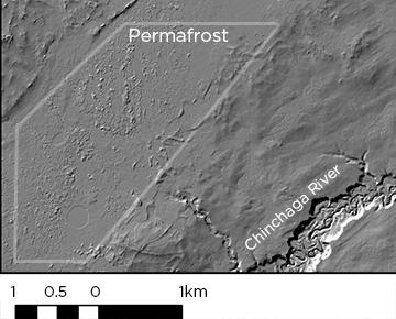
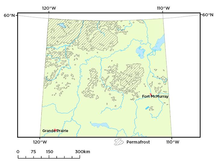
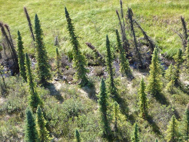
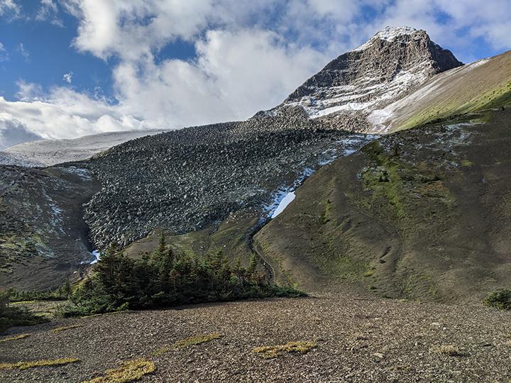
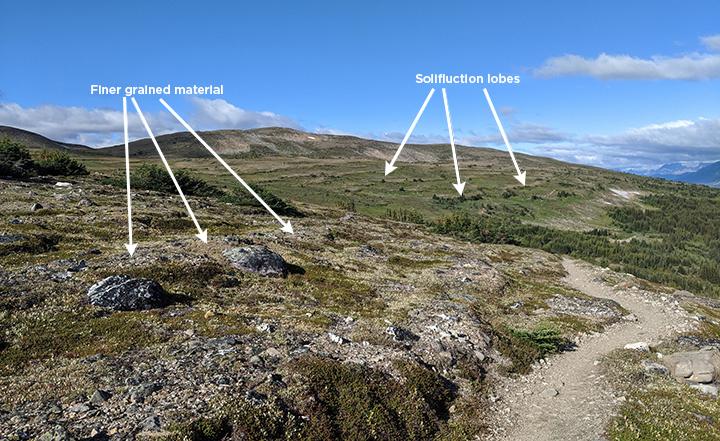
Permafrost is ground that remains below zero degrees Celsius for at least two consecutive years. It lies beneath an active layer that warms above zero degrees Celsius seasonally. Permafrost creates characteristic landforms which our experts identify and map using tools such as LiDAR imagery. It is important we understand where permafrost is in the province because permafrost influences ground stability, ecology, and surface hydrology. We identify and map permafrost in Alberta, publishing our results to aid organizations with activities like land use and reclamation planning.


