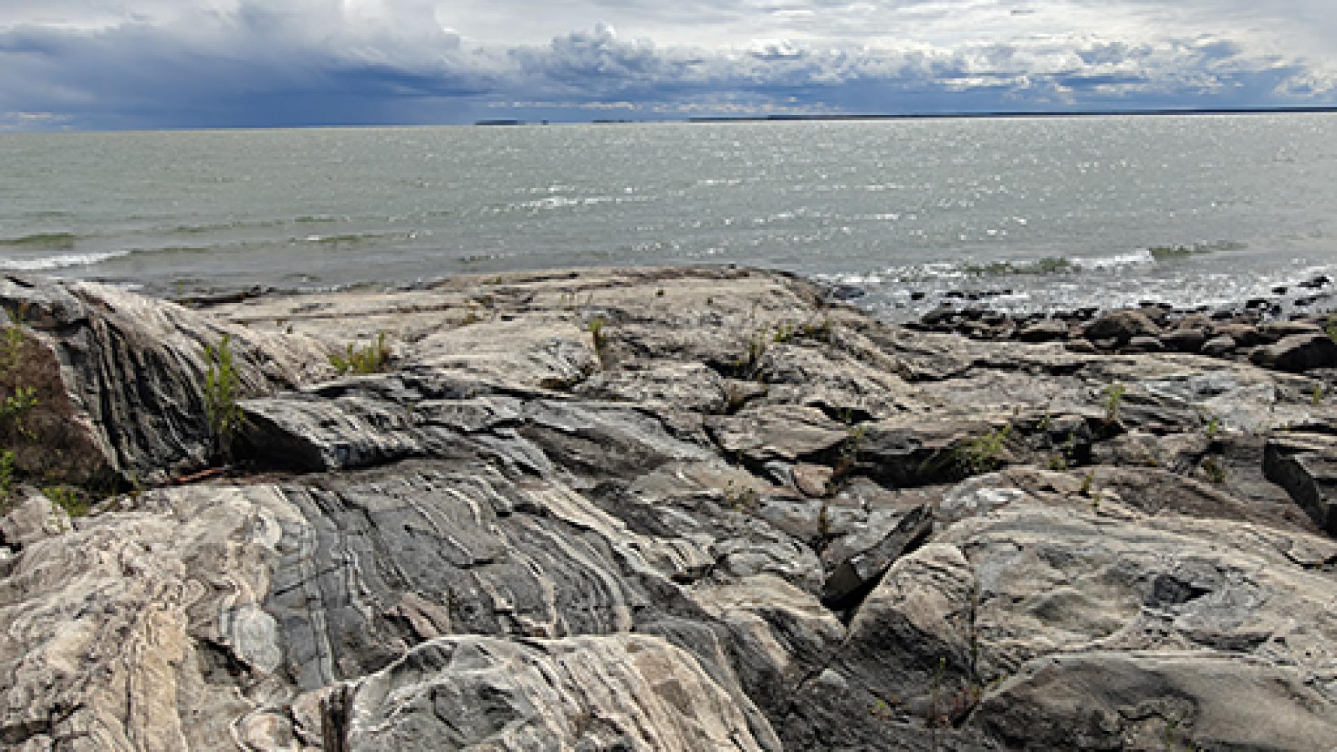
We are your Provincial Geoscience Experts
Homepage
What's New
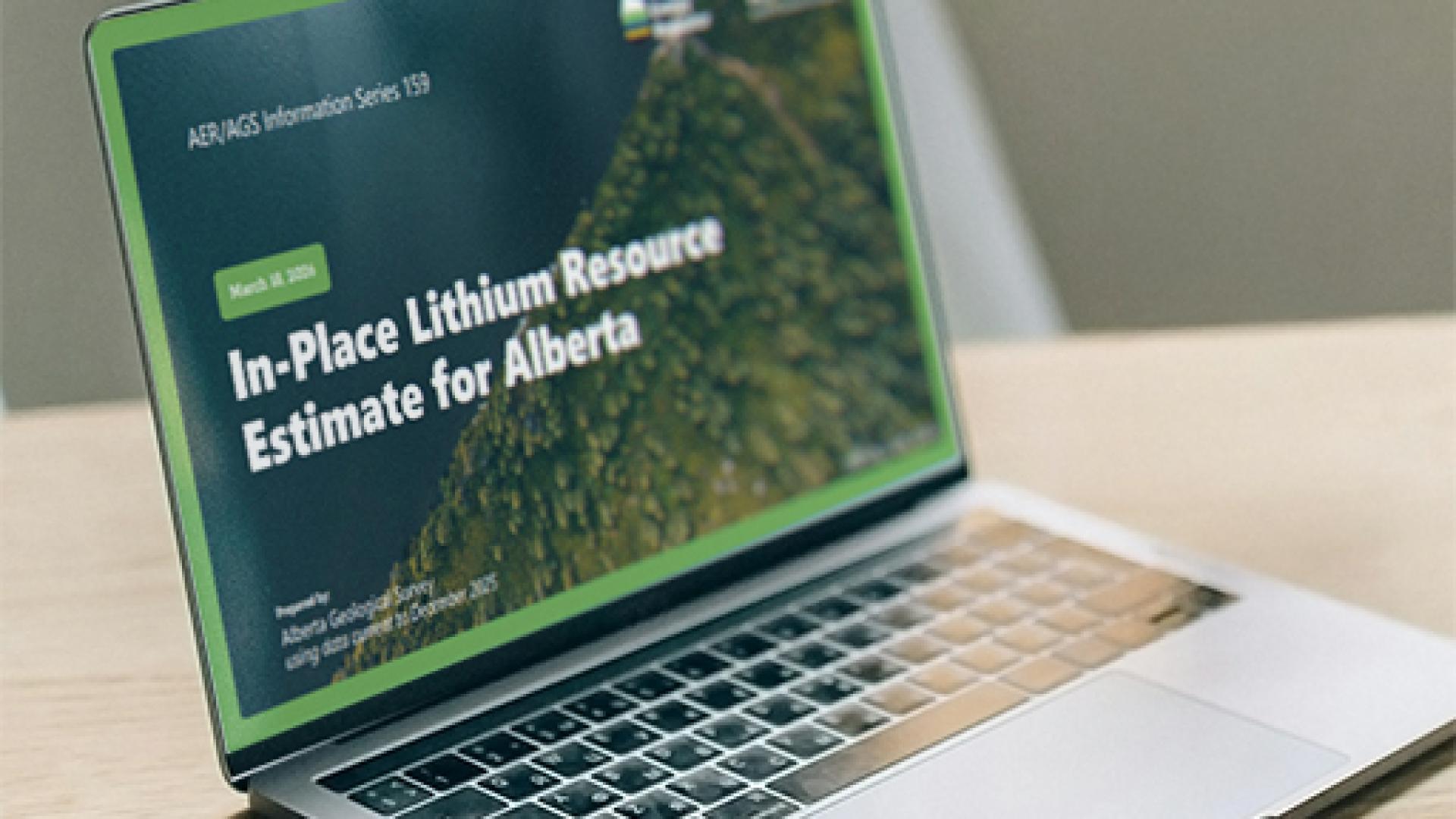
In-place Lithium Carbonate Equivalent Resource Estimate in Alberta brines.
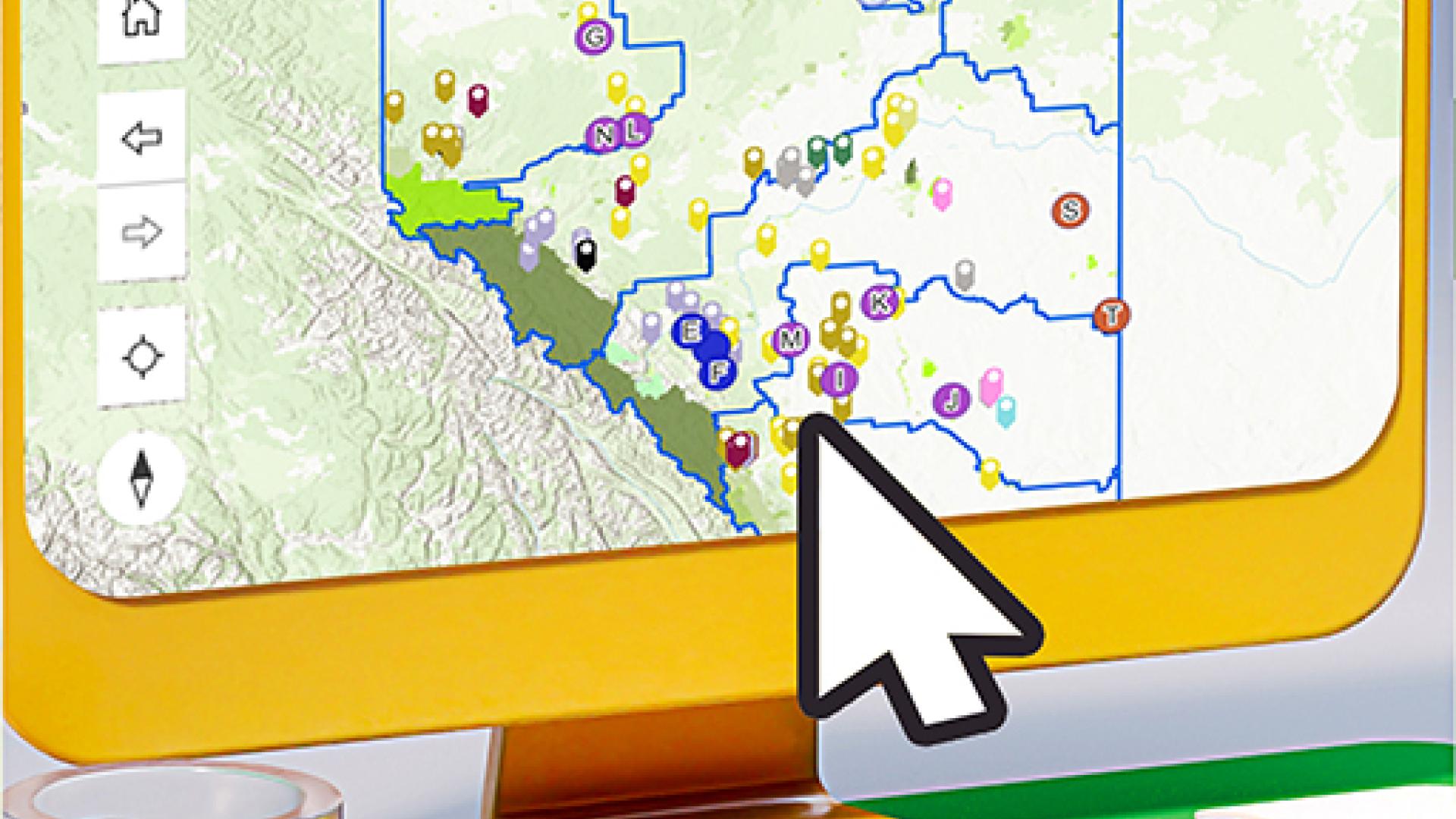
Interactive map that provides data and information pertinent to mineral resources in Alberta.
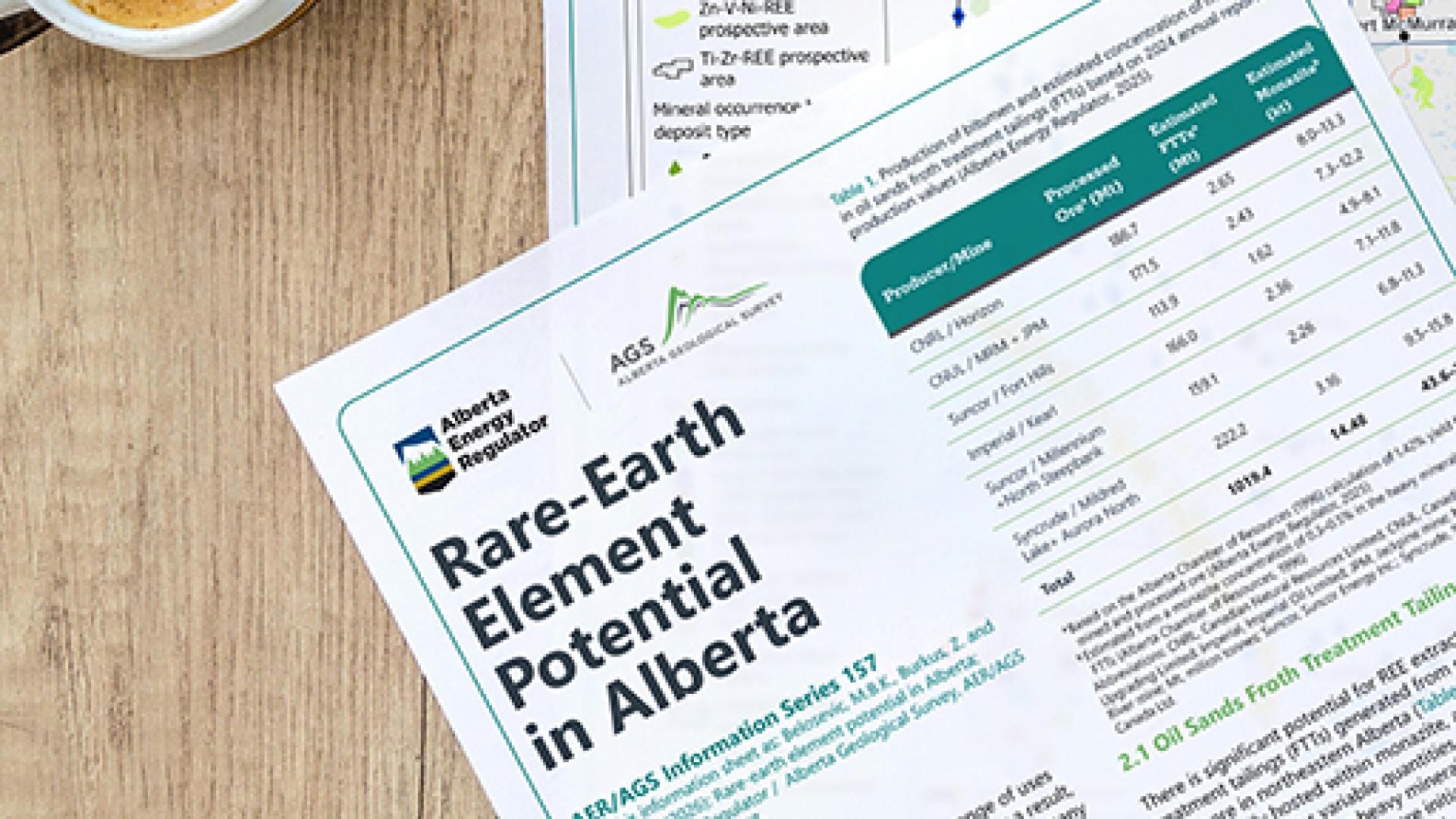
Overview of Alberta’s rare earth element potential from primary deposits and industrial waste streams.
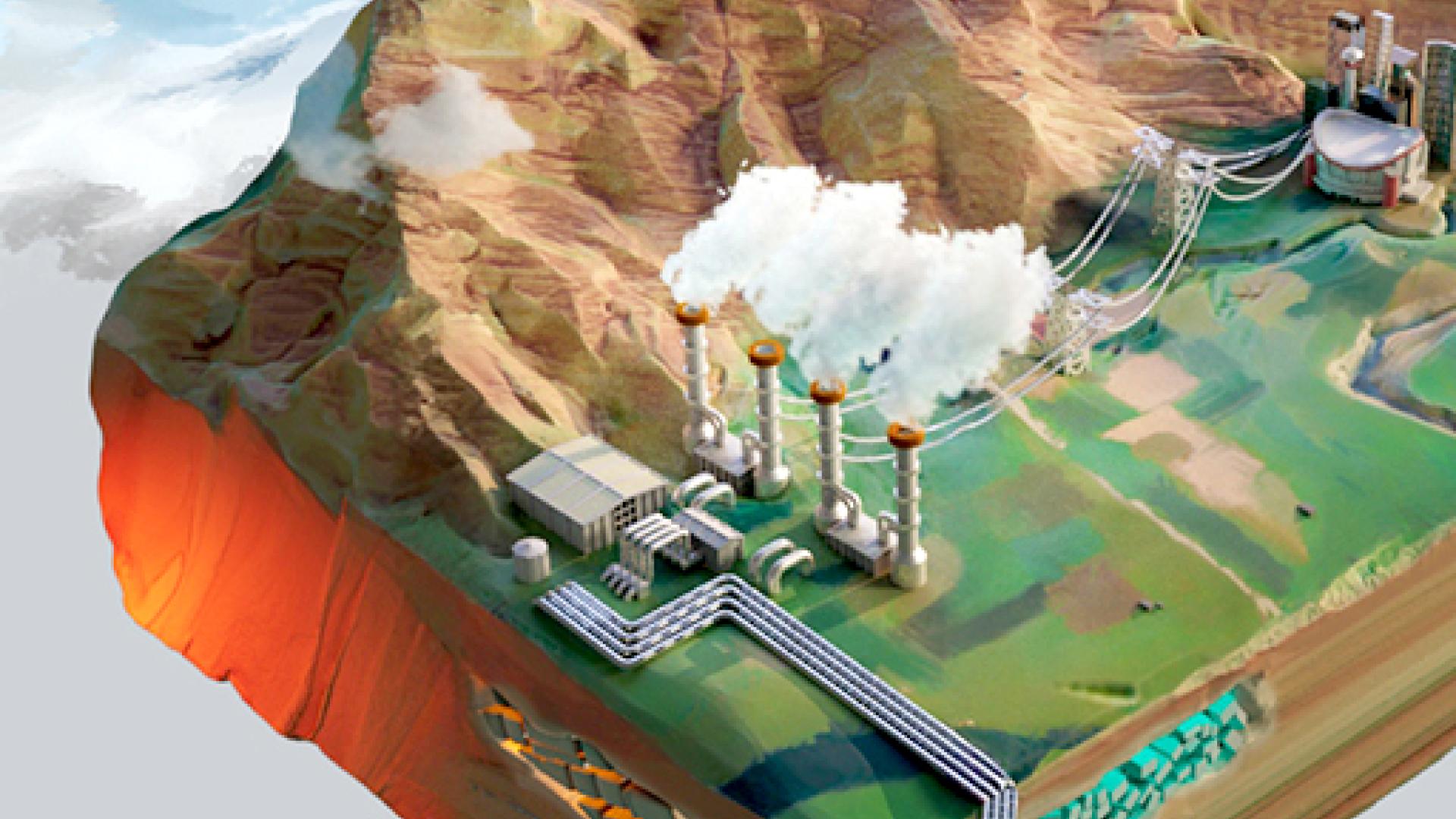
Interactive web-based tool providing data and information on Alberta’s deep geothermal energy potential.
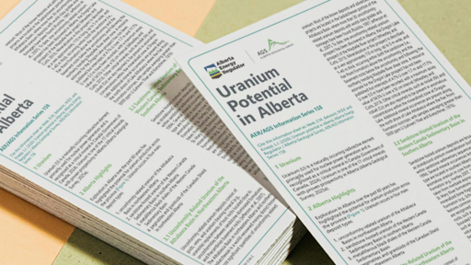
Overview of Alberta’s uranium potential across multiple prospective geological settings.
Collecting and publishing new data to advance mineral exploration across Alberta.
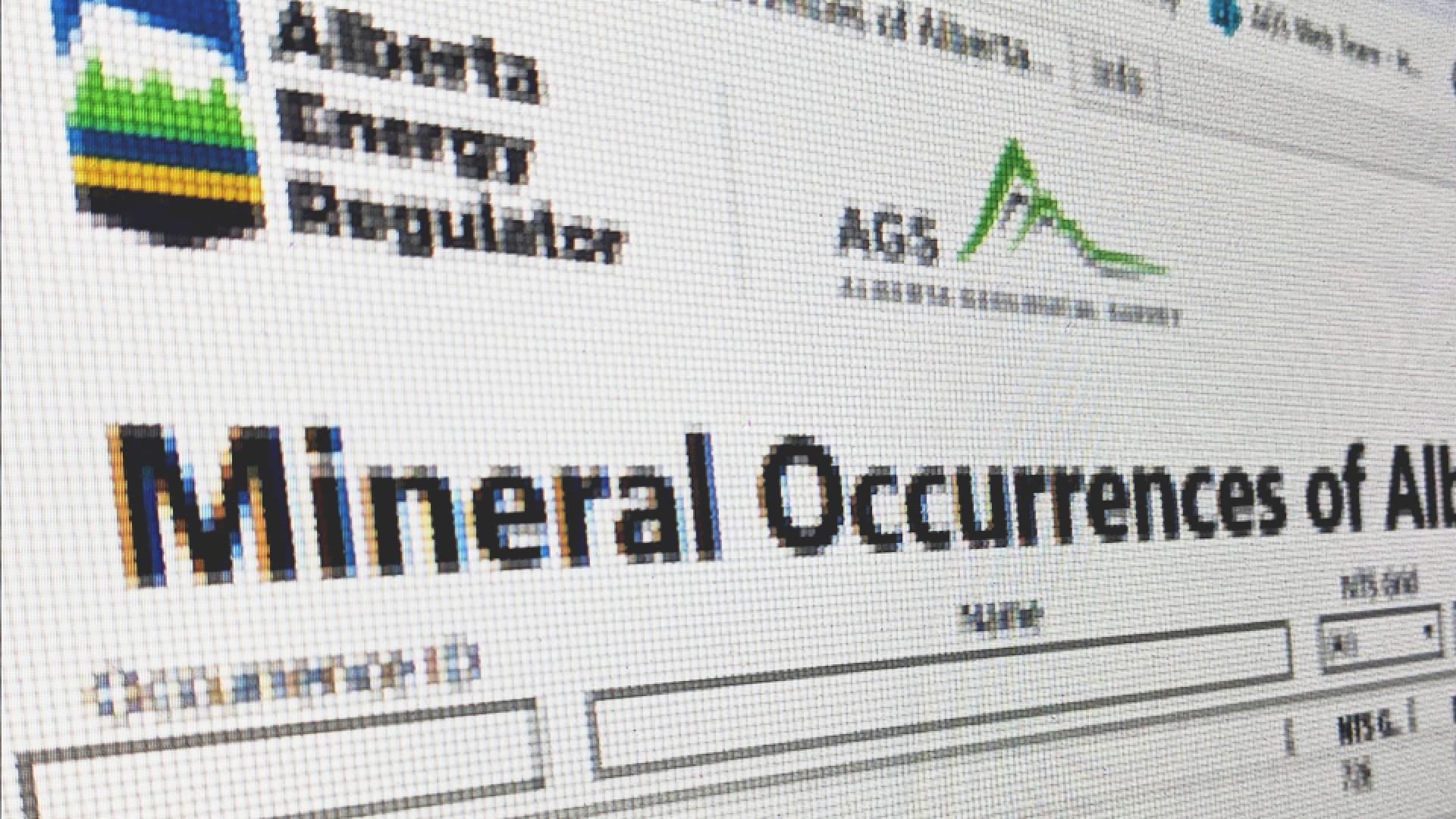
Mineral Occurrences of Alberta Dashboard
The Mineral Occurrences of Alberta dashboard provides an intuitive interface for public users to query, filter, and view mineral occurrence data from the AGS relational database.
Our Recent Publications
Minerals of Alberta Map
Surficial Geology of the Ipiatik River Area (NTS 73M/SE)
Summary of the Critical Mineral Potential of the Andrew Lake and Leland Lakes Areas, Northeastern Alberta
Analysis of WorldView-3 Satellite Imagery for the Wylie Lake Area, Alberta
Estimating the Curie Point Depth (CPD) Isotherm in Alberta Using Aeromagnetic Data
Geological Interpretation of the 2021-2024 Aeromagnetic Data - Merging of Airborne Magnetic Interpretation Products

Open Data
We publish open data and fall under the Open Government License - Alberta. Visit our copyright page for exceptions.

Credible Science
Our experts conduct credible research in their areas of expertise, publishing within our organization and the scientific community.

Products
We publish a range of scientific, open access, and open data products including technical reports, data, maps, models, and interactive apps.
News and Updates
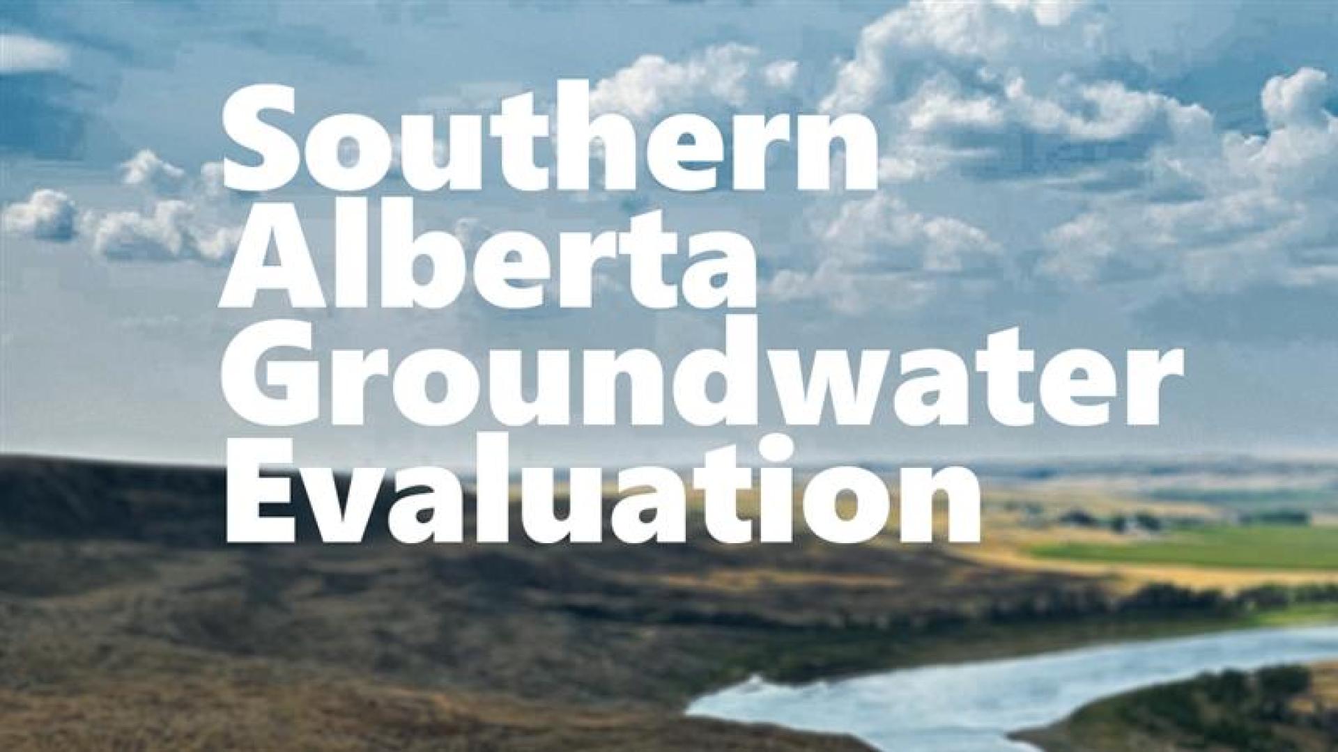
Mapping groundwater in southern Alberta
Alberta’s government is investing almost $4 million to help study and map groundwater in southern Alberta as demand for water grows.