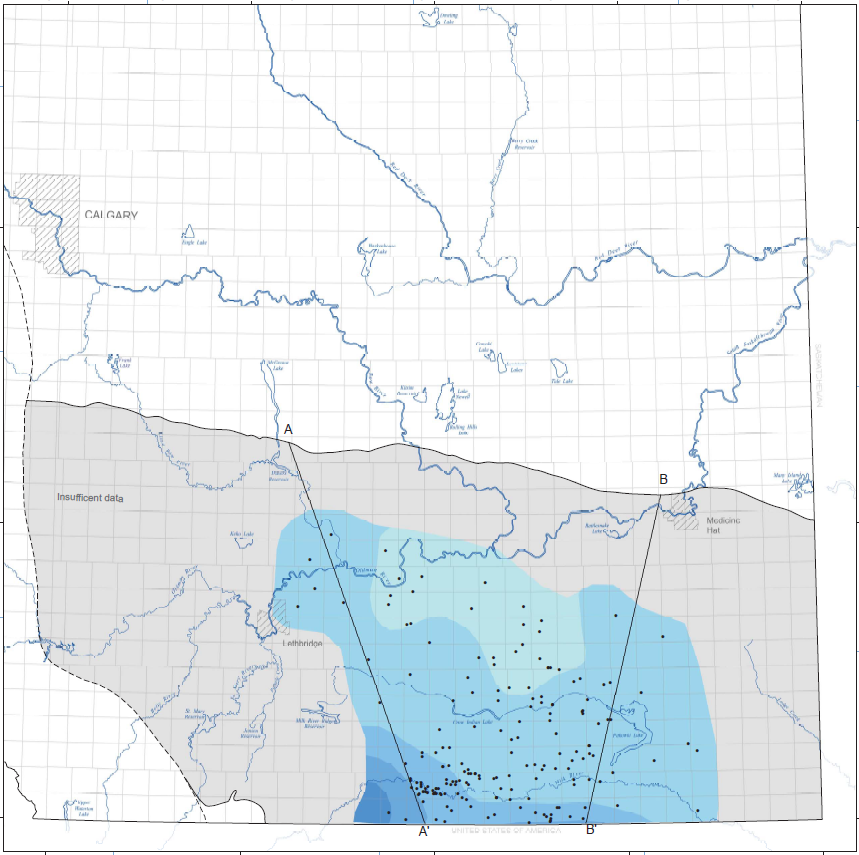
This map depicts the distribution of hydraulic head in groundwater in the Milk River hydrostratigraphic unit (HSU). The map is a result of a simple kriging technique using representative hydraulic head values calculated from drillstem test pressures and static water level data from water wells.
The distribution of hydraulic head was mapped at a regional scale using many years of data, thus providing a good indication of regional hydraulic head within the unit rather than site-specific values. The uncertainty of prediction is depicted on an inset map, which shows the residual values (predicted value minus measured value) plotted at each location to indicate where underprediction and overprediction occurs. One additional inset map shows the distribution of total dissolved solids. The geometry and variable thickness of the Milk River HSU are illustrated on schematic cross-sections. The regional lithostratigraphy and hydrostratigraphy of the Milk River HSU and overlying and underlying units are highlighted in a table.
Erratum (June 3, 2024): In the original version of this publication cross sections AA' and BB' were reversed on Figure 2. They have been corrected in the updated publication.
Singh, A. (2021): Distribution of hydraulic head in the Milk River hydrostratigraphic unit; Alberta Energy Regulator / Alberta Geological Survey, AER/AGS Map 599, scale 1:750 000.