Modelling Alberta’s Geology in 3D
Our Geological Framework is a set of 3D models we use for integrating, interpreting, and analyzing geoscience data in 3D to help answer geological questions for our province. Evaluating geoscience data in 3D supports our province’s ability to make science-based decisions related to topics like land-use planning, environmental sustainability, economic diversification, and public safety. The largest of our 3D models is called the Geological Framework of Alberta model (GFA model). As of 2021, the GFA model covers most of Alberta (excluding the Rocky Mountains and Foothills area). It includes all the geological material from just below the ground surface to 6 km below sea level. We publish our 3D models in various formats including 3D model files, GIS data, tabular data, and online interactive applications.
Geological Framework Program Overview
Learn about the Geological Framework Program.
Regional 3D Property Modelling
Learn about our regional 3D property models.

Learn How to Access and Use the GFA Model Data
Learn how to use the Geological Framework of Alberta model data.
Geological Framework of Alberta Version 3 Model
Access the Geological Framework of Alberta version 3 interactive application.
Alberta's Geology in Minecraft
We created Minecraft models of some regions of Alberta from our 3D models.
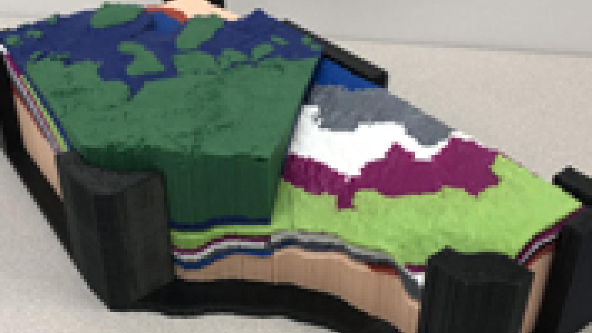
3D Printing Files of Our Models
Download our STL format 3D printing files to print on your 3D printer.

