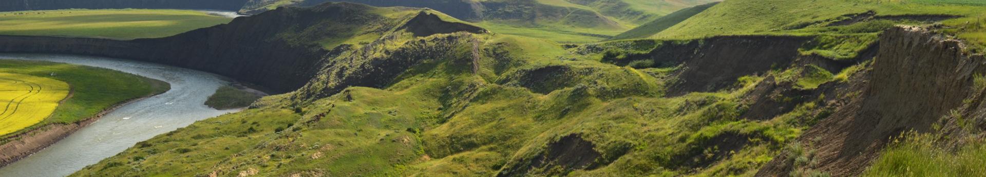
Landslide Mapping and Monitoring
We are an early adopter of new technologies and techniques for landslide identification and assessment including LiDAR, ground- and satellite-based InSAR, remote-operated monitoring networks, and machine-learning techniques. Our current landslide-related research includes regional landslide mapping which is part of surficial mapping projects, provincial-scale predictive landslide mapping, and Turtle Mountain monitoring. In the past, we conducted local and regional landslide activity assessments, and regional landslide inventory compilations.
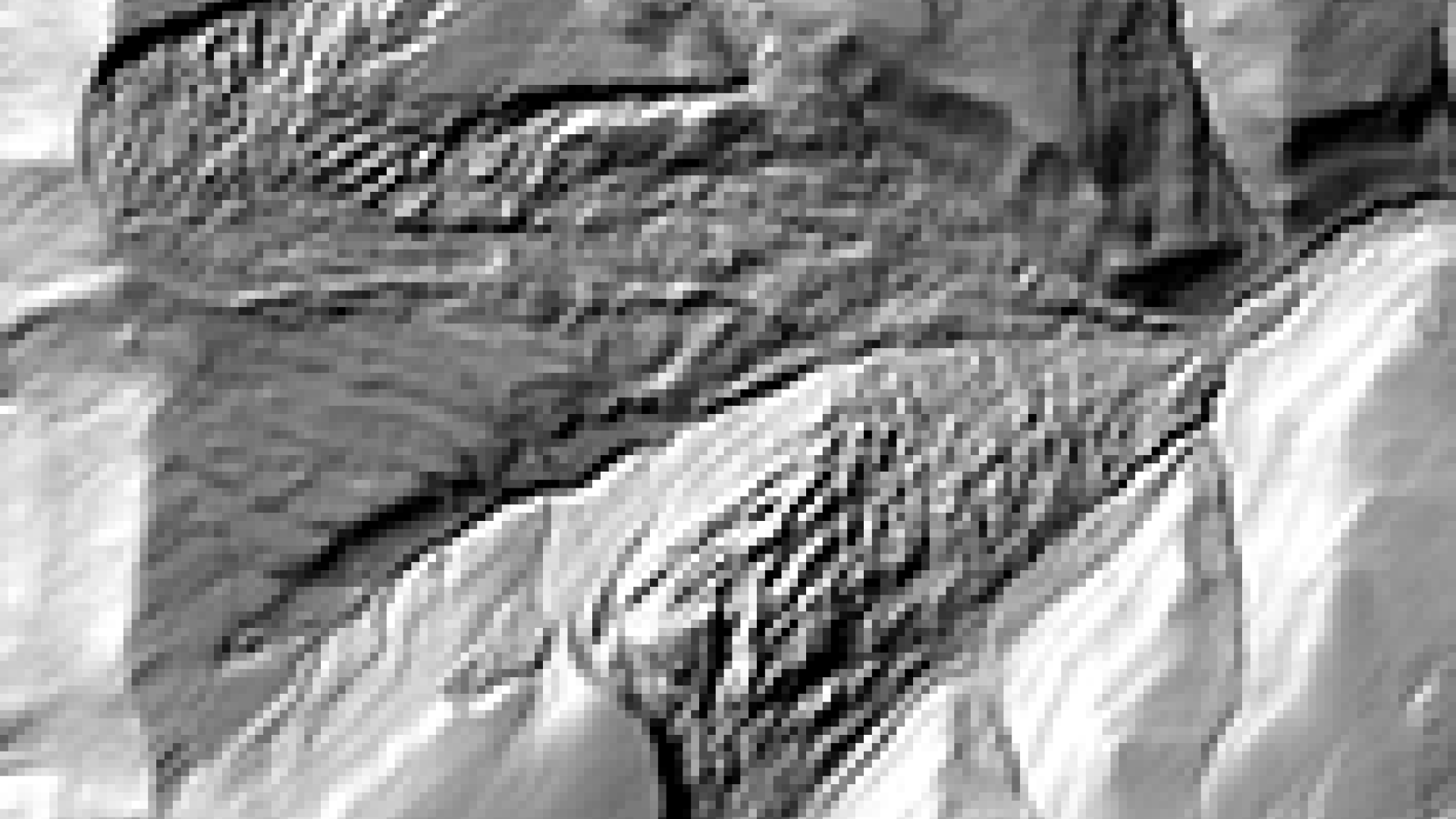
Landslide Identification Using LiDAR
We use bare-earth LiDAR images to identify landslide features.
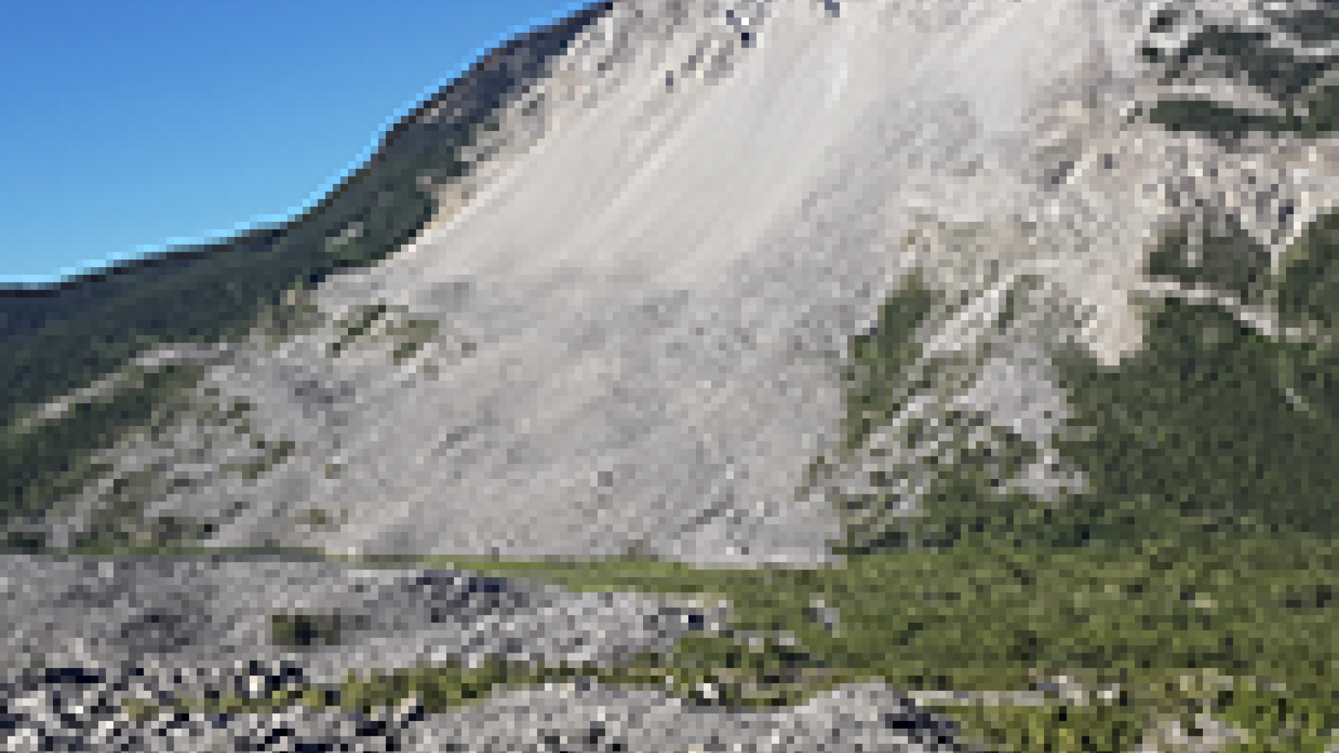
Turtle Mountain Monitoring in Crowsnest Pass
We monitor landslide activity on Turtle Mountain in near-real-time.
We use machine-learning techniques to conduct predictive landslide mapping.
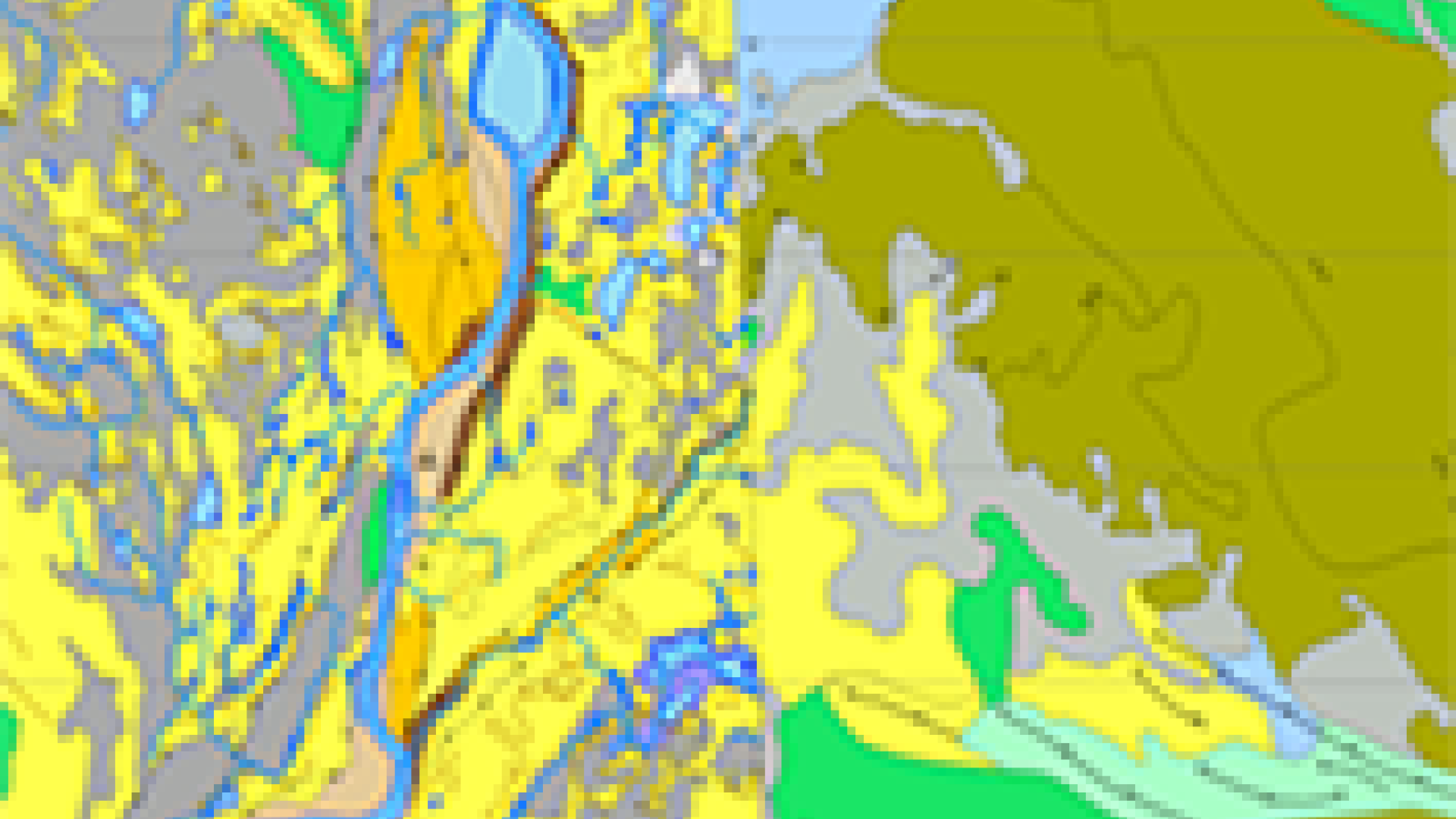
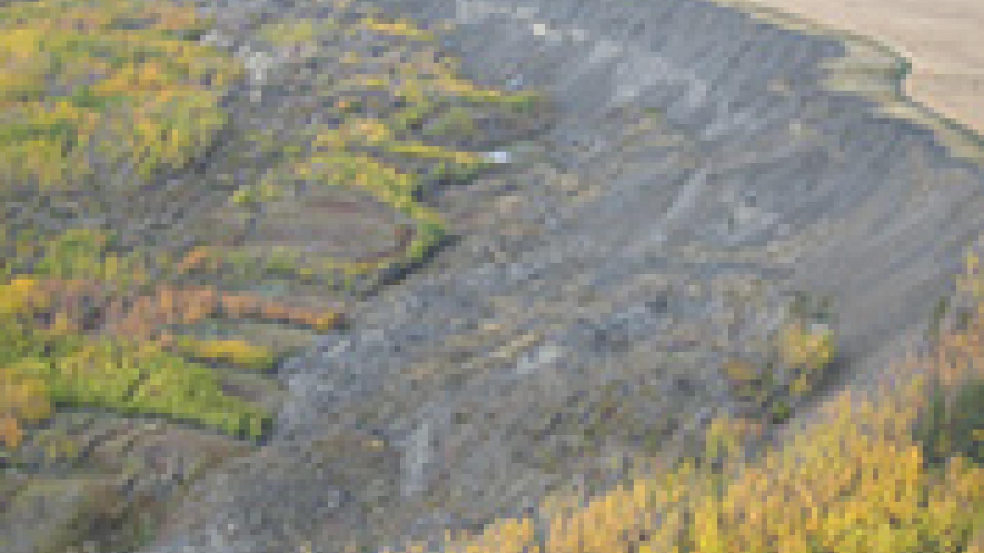
Surficial Geology Mapping Projects
We identify landslide terrain during our surficial mapping activities.