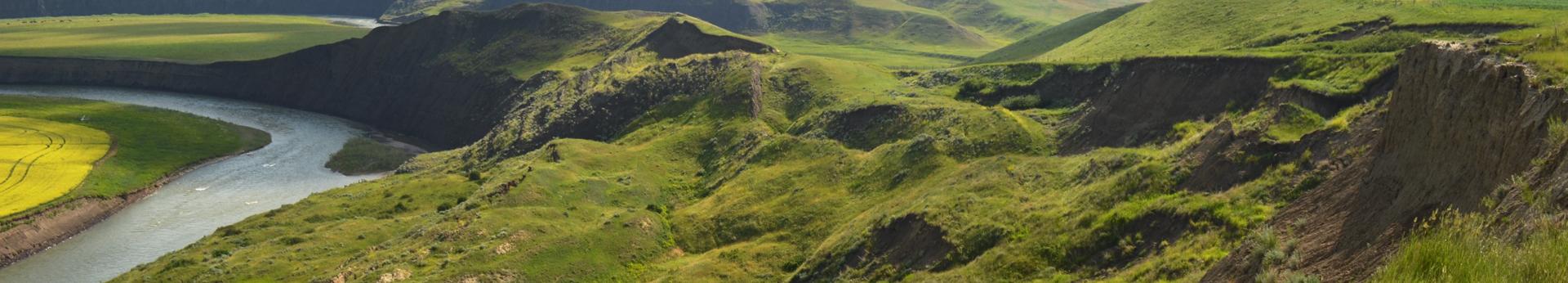
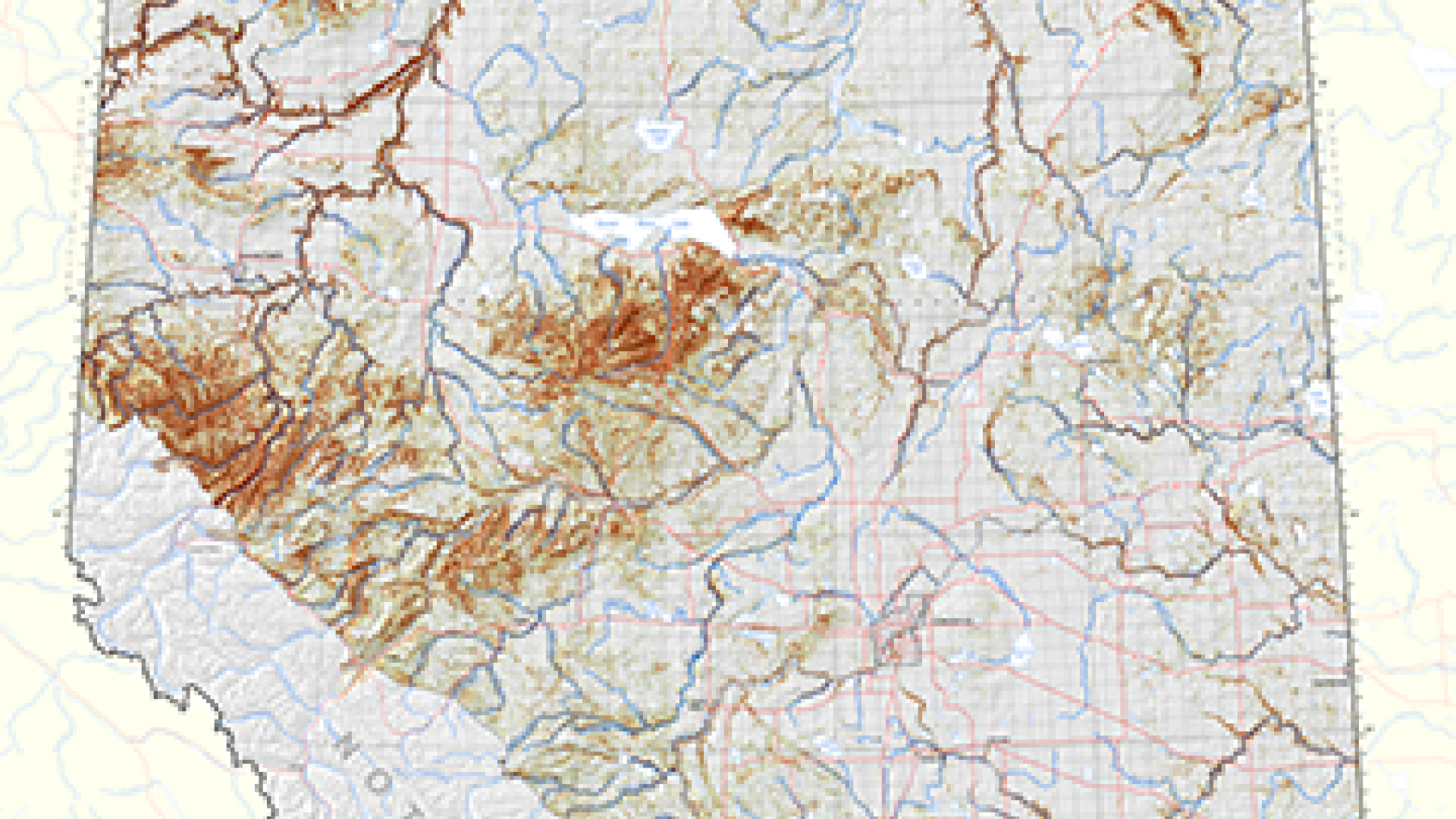
Predictive Landslide Mapping
Our predictive landslide mapping assesses the distribution and probability of landslide occurrence using machine-learning techniques and our vast collection of landslide inventories and provincial-scale geological datasets. Machine-learning techniques allow us to simultaneously assess many pre-disposing geological, topographic, climate, and physiographic factors that govern landslide distribution. Our landslide susceptibility maps show the regional pattern of landslide-prone areas across the Alberta plains. However, this work does not evaluate the temporal probability of failure, the magnitude of landslides, nor their potential impacts.
Landslide Susceptibility Close-Up with DEM
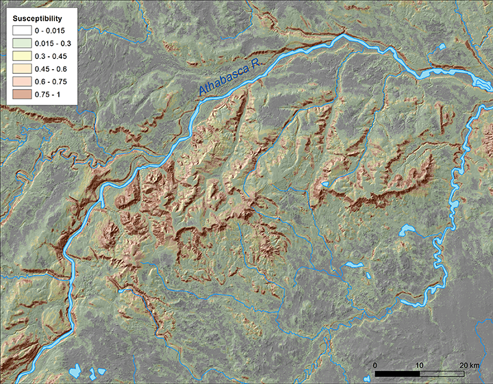
The landslide susceptibility grid from AGS Map 605 draped over a hill-shaded digital elevation model of the rugged uplands north of Edson. Darker brown colors highlight higher landslide susceptibility, usually in steeper areas.