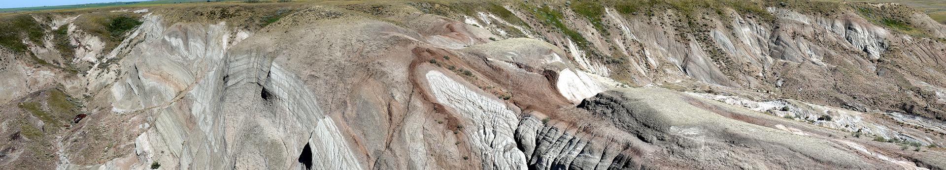
Origin and Distribution of Sediments and Landforms
Alberta’s landscape exhibits a well-preserved legacy of glacial and nonglacial sediments lying at or near the ground surface. We map and publish information on the distribution, characteristics, and genesis of these sediments and their associated landforms. Government agencies, land owners, scientists and engineers use this information for making land-use planning decisions, exploring for resources, and understanding the geological history of Alberta. Some examples of uses include mineral and aggregate potential, environmental/engineering geology applications, and understanding long-term landscape evolution.
Moraines give rise to a diverse and complex range of landforms.
Sand and gravel are a significant resource for aggregate development.

Lakes along glacier margins covered large parts of Alberta during deglaciation.
Permanently frozen ground is more widespread than previously thought.