Turtle Mountain Monitoring Program
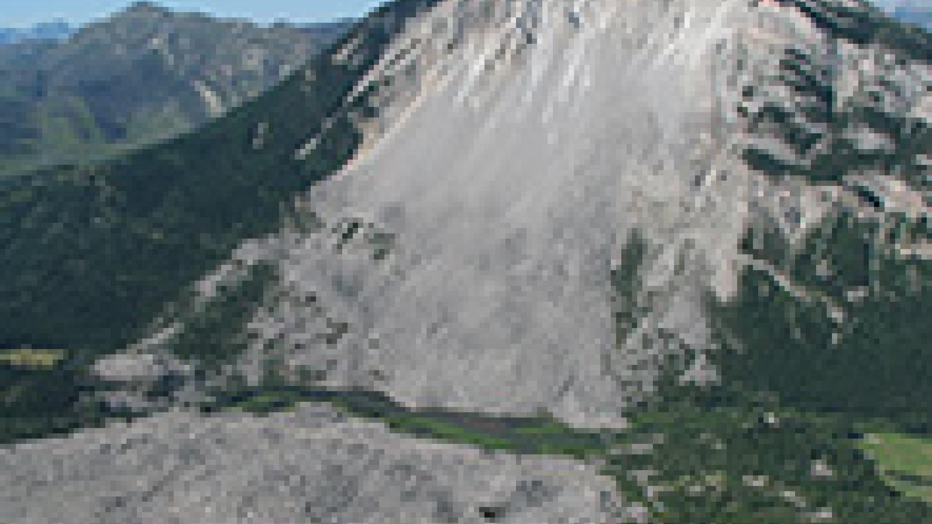
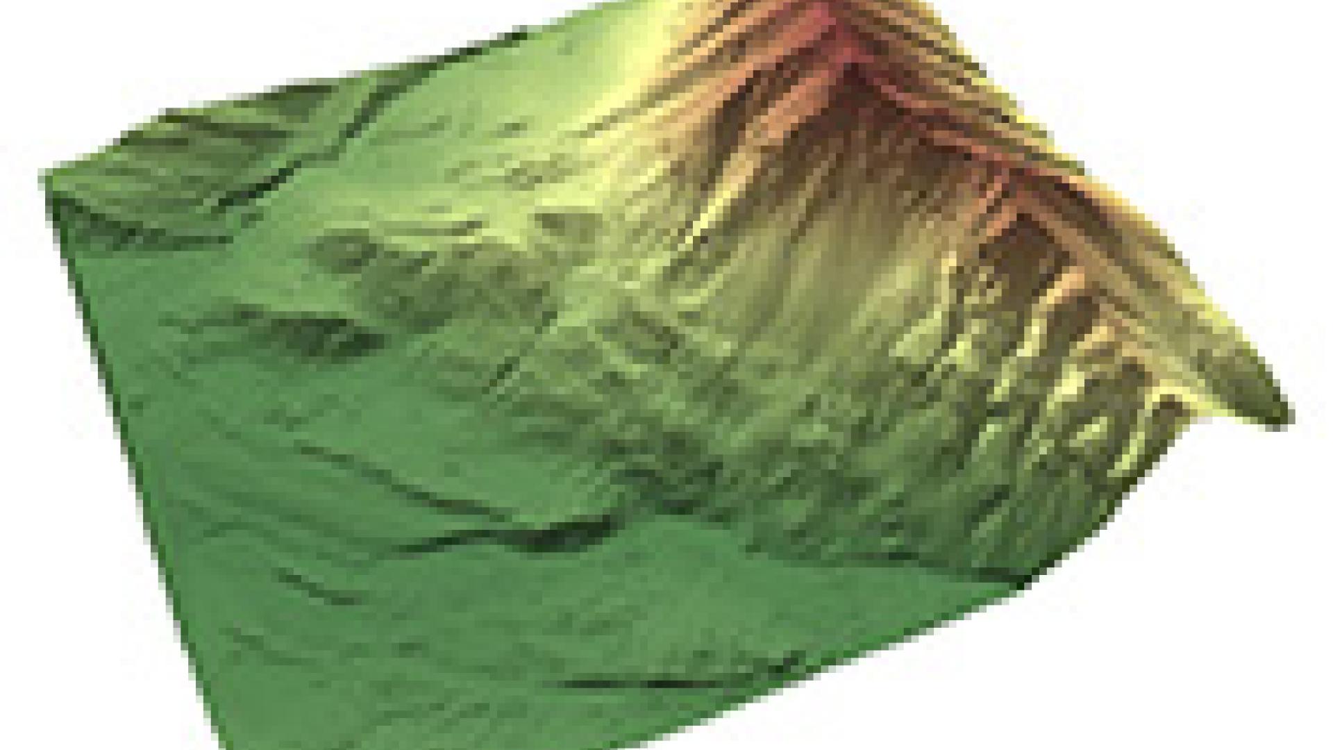
In 2005, the Alberta Geological Survey took responsibility of monitoring Turtle Mountain, site of the 1903 rockslide at the Town of Frank in Crowsnest Pass. Working with a panel of geotechnical experts, we created a state-of-the-art near-real-time remote monitoring system called the Turtle Mountain Monitoring System (TMMS). It uses advanced technologies such as light ranging and detection (LiDAR) and ground-based interferometric synthetic aperture radar (GB-InSAR), to monitor and understand the nature of rock movements on Turtle Mountain’s slopes.
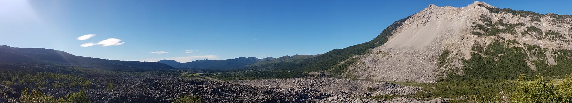
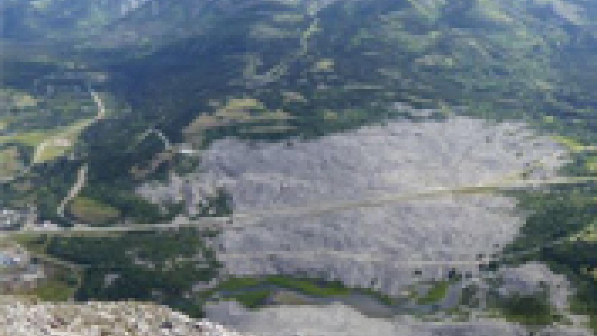
One of Canada’s largest modern rockslides occurred on April 29, 1903.

Historical Monitoring on Turtle Mountain
Read about the evolution of monitoring methods since the 1930s.
Learn how we apply GB-InSAR to our Turtle Mountain Monitoring System.
Turtle Mountain Monitoring Campaign
Explore our additional efforts to enhance our monitoring techniques.
Lights! Webcams! Action! Check out our webcam images and yearly videos.
Turtle Mountain Studies and Research
Learn about our runout models and emergency response plans.