We are your Provincial Geoscience Experts
Homepage
What's New
In this program, we are collecting and analyzing data for mineral exploration.
This is data from geochemical analyses for 288 brine samples collected from oil and gas wells.

Whole-rock and trace element geochemical data for rock from the Canadian Shield.
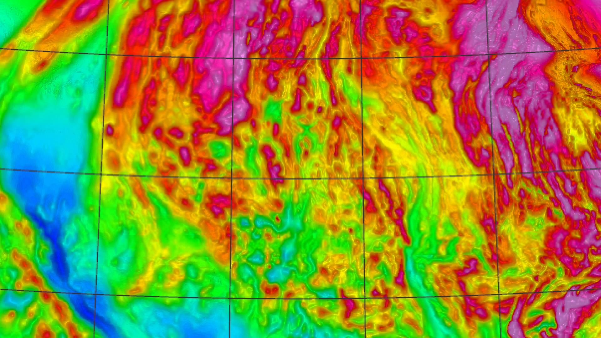
Airborne geophysical surveys including magnetic and gravity data.
It is a public, web-based geographic information system (GIS) app.

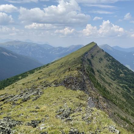
We use remote sensing techniques for Earth observation (EO).
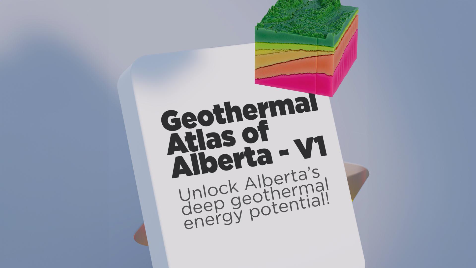
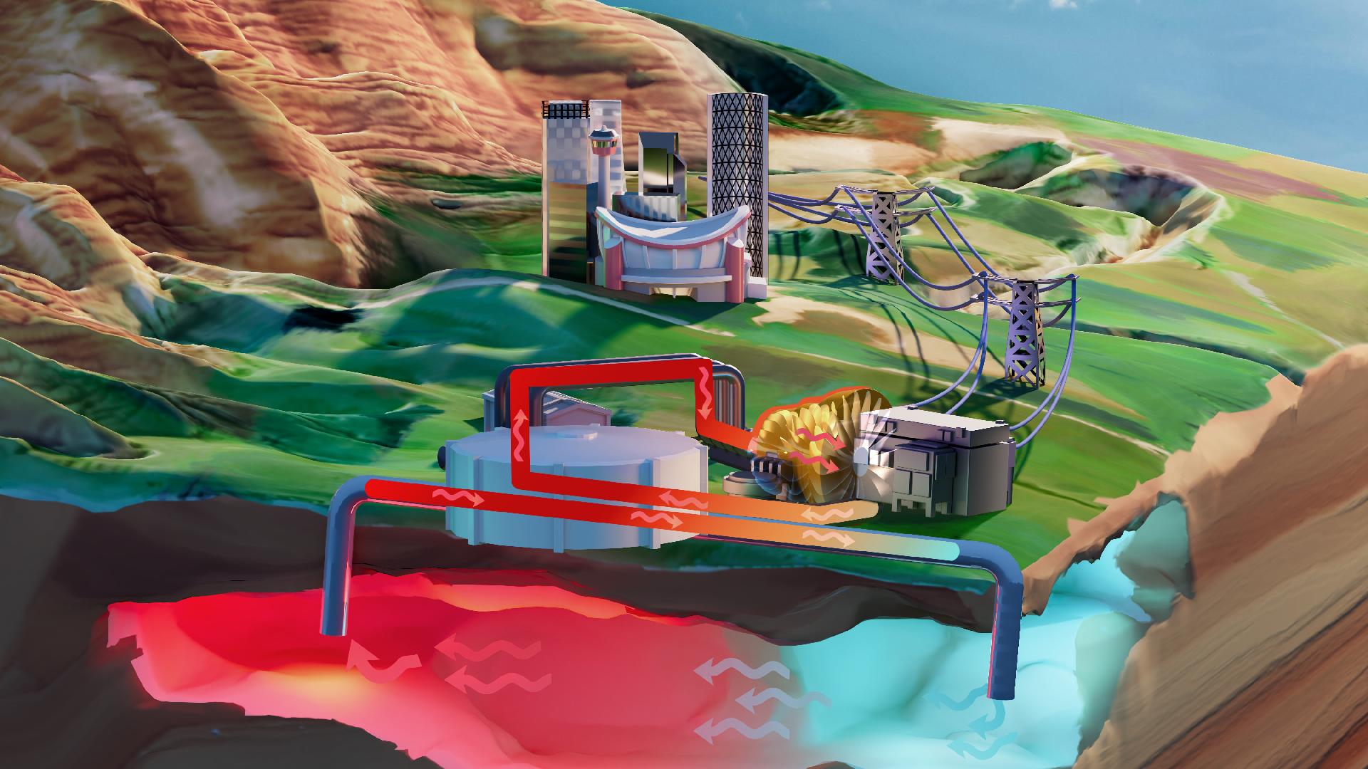
The Geothermal Atlas of Alberta v1
The Geothermal Atlas of Alberta is a public, web-based geographic information system (GIS) application that provides geoscience data and information relevant to the assessment of Alberta’s deep geothermal energy.
Our Recent Publications
Surficial Geology of the Ipiatik River Area (NTS 73M/SE)
Earthquake Iso-Nuisance and Iso-Damage Mapping for Alberta: Preliminary Results
Summary of 2023 Field Activities: Leland Lakes and Andrew Lake Areas, Canadian Shield, Northeastern Alberta.
Analysis of WorldView-3 satellite imagery for the Andrew Lake area, Alberta
Airborne Geophysics Data Analysis and Interpretation, Canadian Shield, Alberta
In Situ Stresses Adjacent to Salt Formations of the Elk Point Group, Eastern Alberta and Western Saskatchewan

Open Data
We publish open data and fall under the Open Government License - Alberta. Visit our copyright page for exceptions.

Credible Science
Our experts conduct credible research in their areas of expertise, publishing within our organization and the scientific community.

Products
We publish a range of scientific, open access, and open data products including technical reports, data, maps, models, and interactive apps.
News and Updates
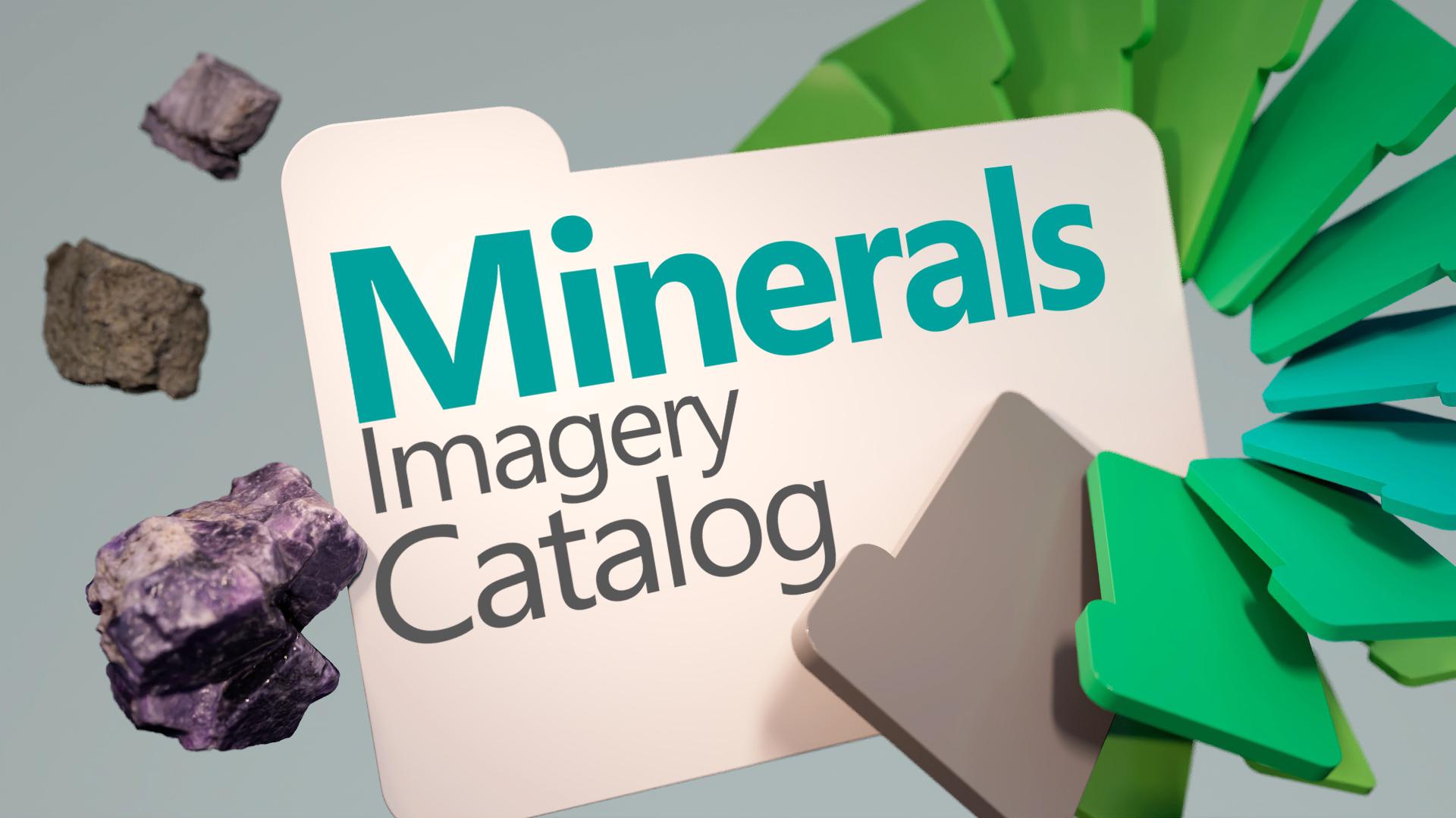
A Collection of Mineral Data
You can review summaries of the project activities and published data in the following magazine.
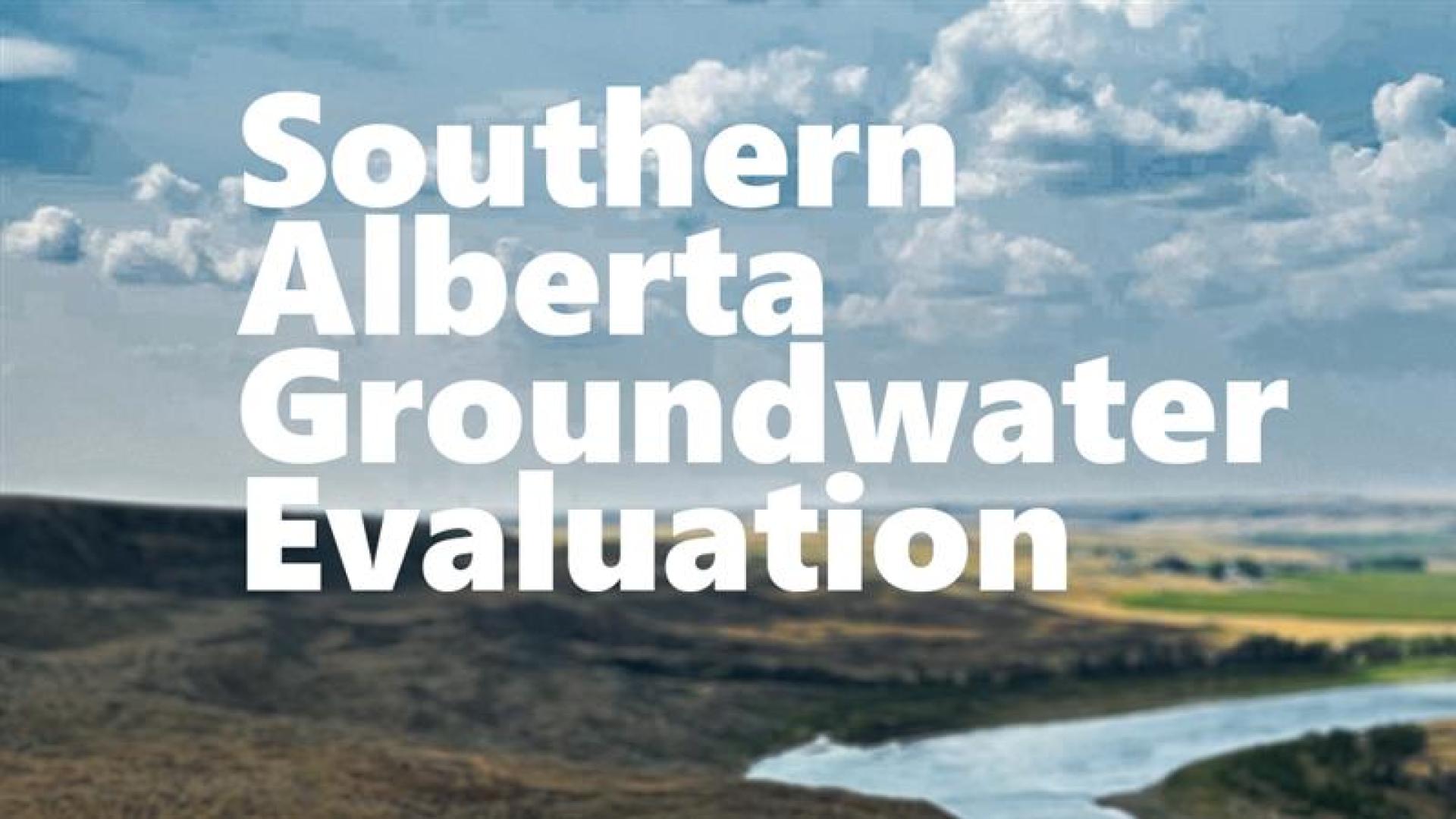
Mapping groundwater in southern Alberta
Alberta’s government is investing almost $4 million to help study and map groundwater in southern Alberta as demand for water grows.
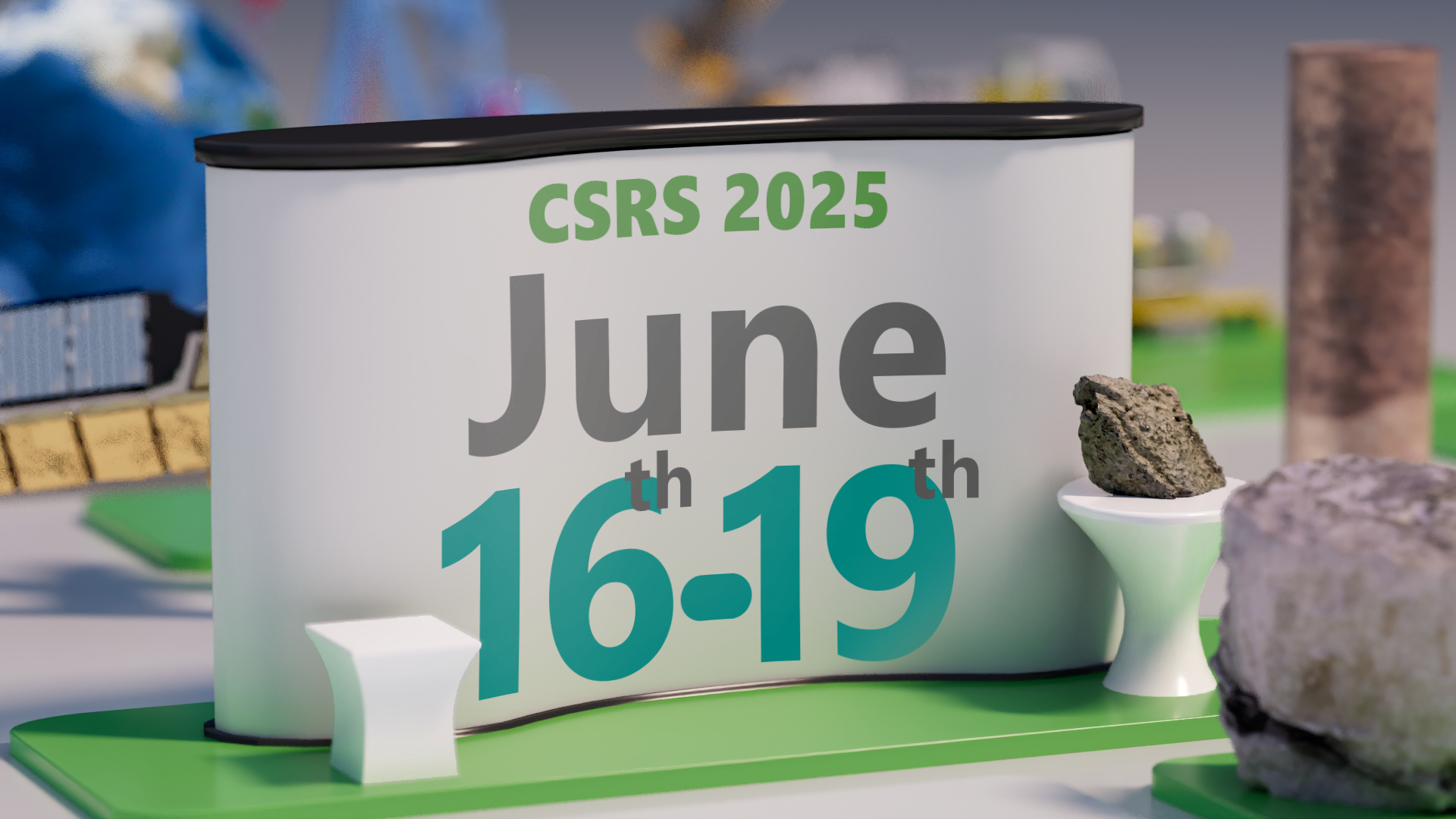
Canadian Symposium on Remote Sensing
Dates:
Monday, June 16 – Thursday, June 19 2025